


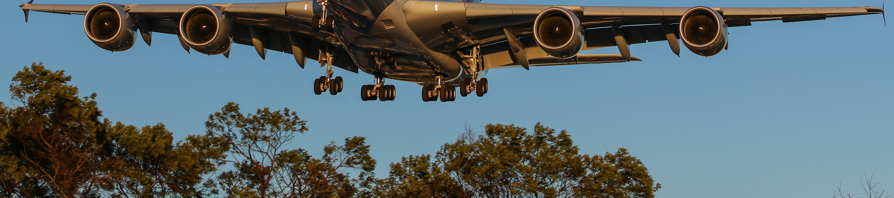
To ensure sustainable future growth and the safety of aircraft and airline passengers, airspace surrounding an airport must be protected from inappropriate development.
For this reason, Australian Government regulations have long recognised the need to restrict the height of buildings and other structures (such as cranes) near airports or under flight paths. This protected airspace is formally known as “prescribed airspace”.
These regulations aim to ensure that:
- The airspace aircraft fly in is obstacle-free;
- Radar and other air navigation equipment can operate free from interference and;
- Airport safety lights are not obscured.
Definition of prescribed airspace
Under the Commonwealth Airports Act 1996, prescribed airspace is declared by the Australian Government as an area “…in the interests of the safety, efficiency or regularity of existing or future air transport operations into or out of an airport for the airspace to be protected.”
An airport’s prescribed airspace typically includes the following surfaces:
Obstacle limitation surface (OLS)
The OLS is defined by international specifications, as adopted by the Civil Aviation Safety Authority. It defines the airspace surrounding an airport that must be protected from obstacles to ensure aircraft flying in good weather during the initial and final stages of flight, or in the vicinity of the airport, can do so safely.
Procedures for air navigation services – aircraft operations (PANS- OPS) surfaces
At major airports, radio and satellite navigation aids enable aircraft to fly safely in poor weather (known as “non-visual conditions”). In such conditions, visibility can be close to zero due to cloud or fog. To avoid collisions, pilots need to know that the airspace they are flying in is free of obstacles.
Other surfaces
Other surfaces are defined to ensure off-airport obstacles don’t interfere with signals from ground-based air navigation equipment (such as radar) or obscure airport safety lights (such as high intensity approach lights, or HIAL). If radar signals are interfered with, a pilot might receive inaccurate information about the location of the aircraft in relation to the airport. If the HIAL is obscured, particularly in low visibility conditions when it is most needed, a pilot may lose sight of the runway just before touch down. Both scenarios pose an obvious risk to safety.
Sydney Airport’s prescribed airspace
Since Sydney Airport can control on-airport development activity, the primary focus of airspace protection is to ensure off-airport development activity does not compromise aviation safety.
Airspace protection therefore involves aspects of land use planning and development control, which need to be managed cooperatively with external responsible authorities, including the NSW and local governments.
Charts showing the prescribed airspace can be downloaded below.
To protect these surfaces at Sydney Airport, annual obstacle monitoring surveys are conducted and the results published on this website. Daily obstacle monitoring is conducted by airport operations staff, in conjunction with approved building activities within the airport vicinity, to maintain the safety, efficiency and regularity of aircraft operations into and out of Sydney Airport.
Airspace amendment
There are currently no proposed amendments to Sydney Airport’s airspace.
Further information
Email us for further information on our prescribed airspace.
Further information on the Commonwealth’s airspace protection regulatory system can be found on the Commonwealth Department of Infrastructure, Transport and Regional Development’s website.
Application forms
Airspace protection charts
-
Chart 2A - Procedures for Air Navigation services – Aircraft Operations Surfaces (1 of 3)
-
Chart 2B - Procedures for Air Navigation services – Aircraft Operations Surfaces (2 of 3)
-
Chart 2C – Procedures for Air Navigation Services – Aircraft Operations Surfaces (3 of 3)
-
Chart 5 – Radar Terrain Clearance Chart Surfaces (wide view)
-
Chart 6 - Combined Radar Departure Assessment Surfaces (Omni Directional)
-
Chart 7 - Precision Approach Path Indicator (PAPI) system protection surfaces
Disclaimer
Sydney Airport designs and manages the following airspace surfaces: Obstacle limitation surface (chart 1); High intensity light protected surfaces (chart 4); and Precision approach path indicator (PAPI) system protection surfaces (chart 7).
Airservices Australia designs and manages the following airspace surfaces: Procedures for air navigation services – aircraft operations surfaces (charts 2A, 2B and 2C); Navigation aids protected surfaces (chart 3); Radar terrain clearance chart surfaces (chart 5); and Combined radar departures assessment surfaces – omni directional (chart 6). Based on information provided to Sydney Airport by Airservices Australia, Sydney Airport has prepared charts 2A, 2B, 2C, 3, 5 and 6.
Sydney Airport makes no representation or warranty as to the accuracy or completeness of the charts that relate to the airspace surfaces which Airservices Australia designs and manages (charts 2A, 2B, 2C, 3, 5 and 6). Sydney Airport accepts no responsibility or liability whatsoever to any person who relies on information shown in the charts that relate to the airspace surfaces which Airservices Australia designs and manages.
For information concerning the airspace surfaces for which Airservices Australia designs and manages (charts 2A, 2B, 2C, 3, 5 and 6), please contact airport.developments@airservicesaustralia.com.
Light Detection and Ranging System (LIDAR) Windshear Alerting System
Sydney Airport has installed two LIDAR units to provide Windshear Alerts within 3 nautical miles on all runway ends.
A comprehensive information booklet for pilots and other interested users on the installation and operation of this system can be found below.
Precision approach terrain charts
The International Civil Aviation Organisation (ICAO) and The Civil Aviation Safety Authority (CASA) require airport operators to produce Precision Approach Terrain Charts for runways available for Category II/III operation.
Sydney Airport has prepared charts for Runway 16R, Runway 16L, Runway 34R and Runway 34L.
The topography of the approach terrain can be important in all-weather operations because it can affect radio altimeter operation.
Radio altimeters are useful for any operation and are typically required for autoland, HUD guidance to landing, and authorization for Category II and Category III operations. The ground below the last part of the final approach should be regular and preferably level. This is important to ensure correct radio altimeter operation for pilot use as well as for terrain awareness and warning system and automatic landing system operation.
At runways with significant irregular approach terrain, it may be necessary for an operator to conduct aeroplane model-specific assessments of the effect of the irregular terrain on approach and landing operations. Isolated buildings or projections that do not materially disturb radio altimeter indications are usually acceptable.